Siagne Canal, Mandelieu la Napoule
An easy ride with wonderful scenery and viewpoints
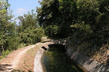
The Siagne Canal is approximately 50km long and provides the town of Cannes with its water. It was constructed in 1868 and today provides a lovely walking route or picnic spots.
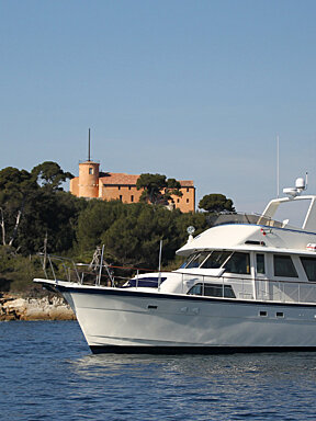
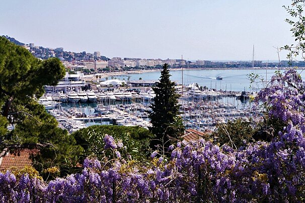
Joining the canal at Avenue Bellini, visitors can enjoy the surrounding mimosa and eucalyptus trees plus a fantastic view point which looks out over the bay and the Lerins islands. Its starting point is Saint Cezaires before winding all the way down to La Californie in Cannes.
This is a great trail that can take you as far as you wish. A small section of around 6km, should take you about 40-45 minutes to bike. Great for someone looking for a quick blast of exercise. Or alternatively you can tackle the whole distance and enjoy a day out!
What to see
The Siagne Canal is an integral part of the uplands around Grasse. The local people are very attached to this body of water which contributes to the Provençal cultural identity of the area. Not only a site of great beauty in terms of its architecture and landscapes, which are unique in the Alpes-Maritimes département, but you will also see its farming terraces (restanques, faïsses).
Directions
The canal begins in Saint Cezaires and ends on the coast at Mandelieu La Napoule to the west of Cannes.
