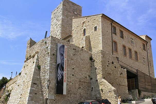
Musee Picasso (Chateau Grimaldi)
The Picasso museum is housed in the Chateau Grimaldi in the centre of the town of Vallauris. The chateau was built over a Roman fort in the 16th century.

© SeeCannes.com
At 248m this hike offers uninterrupted views of the bay
The Cordula was created by the Ligurians, then occupied by the Greeks and Romans before being burned by the Barbarian invasions of the 4th century. The wooded parkland now lies lust north of the coast at Vallauris and offers shade on sunny days.
IGN map 3643ET is recommended for this walk

The Picasso museum is housed in the Chateau Grimaldi in the centre of the town of Vallauris. The chateau was built over a Roman fort in the 16th century.
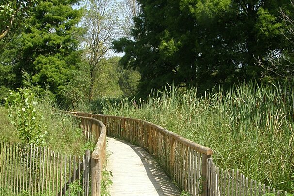
Covering 561 hectares this park is a beautifully protected area that is flourishing with wildlife, plants and birdlife! Go for a hike around the lake, enjoy a picnic by the river or take a ride on your mountain bike through the forest, there are lots of things to do at this park.
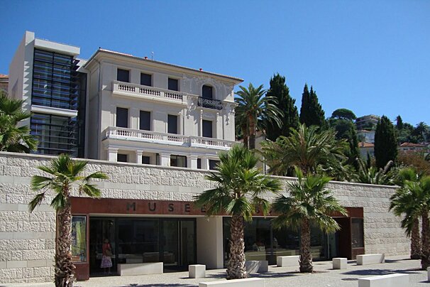
Pierre Bonnard stayed in this beautiful Belle Epoque house in Le Cannet for over 20 years and painted many of his famous works here.
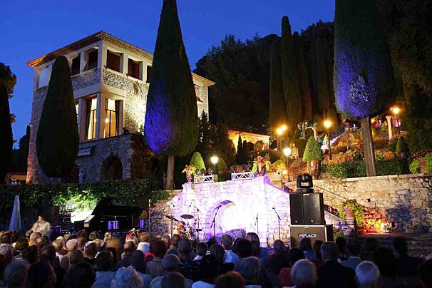
Built by painter Jean-Gabrial Domergue in 1929 it was originally named Villa Fiesole. The style of the villa is highly influenced by the Italian Renaissance style and a Tuscan villa that the painter had seen near Florence.
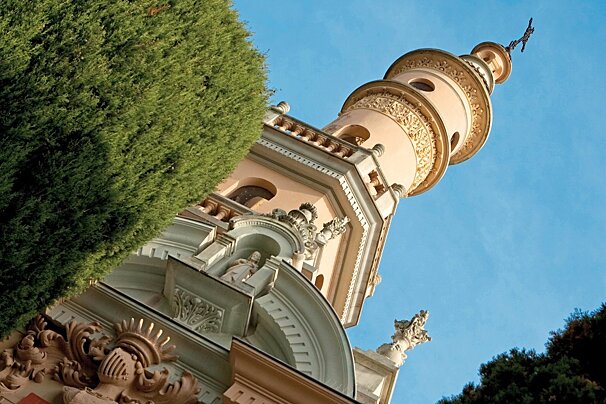
Villa Fiorentina dates back to the 19th century and was one of the first luxury villas that paved the way for aristocrats to build their holiday homes in Cannes.
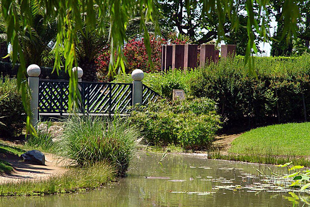
A magnificent example of Mediterranean gardens with a large olive grove, fountains and of course the wonderful Antibes roses!
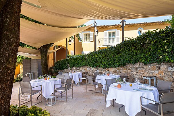
Michelin-starred La Bastide Saint-Antoine offers a refined retreat near Cannes, where chef Jacques Chibois creates inspired Provençal cuisine. Set in a stunning country house with lush gardens and panoramic sea views, it’s the perfect blend of gastronomy, elegance, and tranquillity.
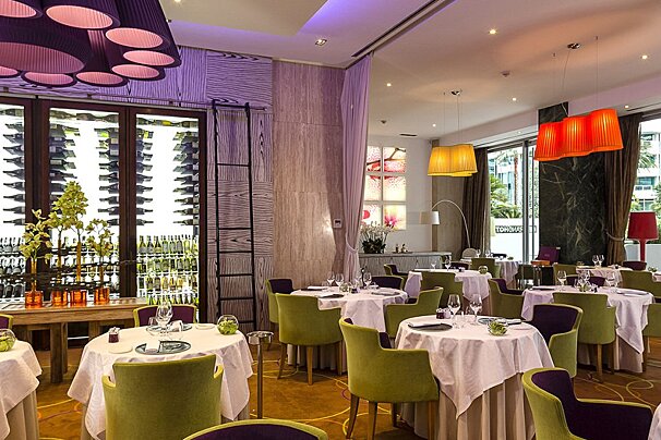
Enjoy the fabulous one-Michelin-starred restaurant with its light and creative cuisine and elegant decor.

La Passagère at Hôtel Belles Rives offers a refined culinary journey shaped by the creative talents of Chef Aurélien Véquaud and Pastry Chef Steve Moracchini. Set against a stunning Riviera backdrop, this restaurant pairs inspired cuisine with a spectacular setting.

Soak up the sunshine and sea breeze over lunch at the Carlton Beach Club, where local flavours, fresh ingredients and a touch of French Dolce Vita come together by the water’s edge.

Awarded one Michelin star, La Palme d'Or invites you to discover chef Jean Imbert’s culinary artistry in an unforgettable setting.
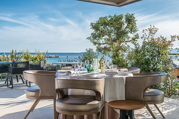
Enjoy a culinary experience at this fine dining restaurant, Les Pêcheurs. It offers a creative cuisine that deftly blends flavours and fragrances from throughout the French Riviera.

Take a trip onboard this luxury yacht along the Riviera to any destination of your choosing.

Based in Cannes, motorbike and scooter rental so you can explore the South of France.

Experience the French Riviera your way with 212 yachts, using one of their sample itineraries or with a specialised itinerary created just for you, based on what you like and don't like, as well as their own expertise.

Based in the public beach of Bijou Plage in Cannes, this swimming school on the Côte d'Azur has been in operation since 1962 and is led by Thierry, a fully qualified skiing, swimming and fitness instructor.

This company is based in Cannes and offers a wide range of road bikes, with delivery available to Antibes.
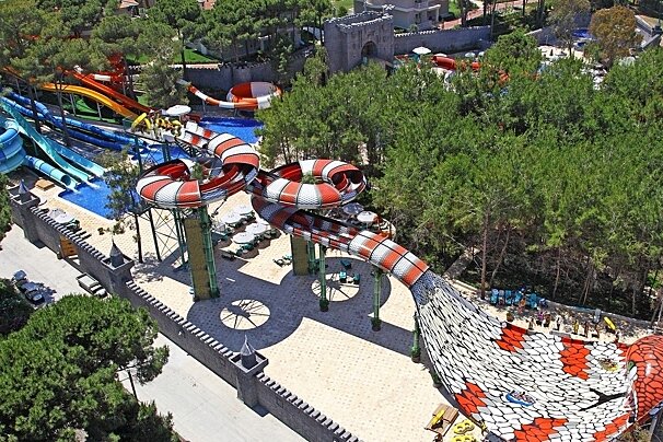
With numerous slides, including the King Cobra - unique is western Europe - this is the largest waterpark on the Cote d'Azur! Inludes a rest area, show area, clockroom, fast food, grill and pizzeria, ice creams, drinks, and shop.
From the car park at the Marie head along the north side of the cemetery via Route de Saint Bernard, then via a left onto Chemin Vieux de Biot. Once merging with the D435 take the first right onto Chemin des Encourdoules.
After a short while there is a trail to your left. Follow this around the hill, there are water stops along the way. A small path leads off to the summit at 248m where there is some archaeological excavations taking place. Head back down via a steep trail along a fenced property to retrieve the route taken earlier, reverse this route back to the Marie.
Find out all about what is happening in Cannes and how to make the most of your time here. The latest news, reviews of fun activities, fabulous beaches, current events and the trendiest restaurants, as well as interviews with leading locals, insider's guides and our top choices for things to do, see and experience in this glamorous city.
See allLatest News & ReviewsYou will not be short of entertainment in this beautiful French Riviera town, especially during the summer. Perhaps the best known of all the events is the highly glamorous Cannes Film Festival – certainly worth a day trip to the city just to see which celebrities you can spot. There are also markets, international fairs and plenty of cultural and musical festivals.
See allUpcoming Events